Aurlandsfjord
Aurlandsfjord
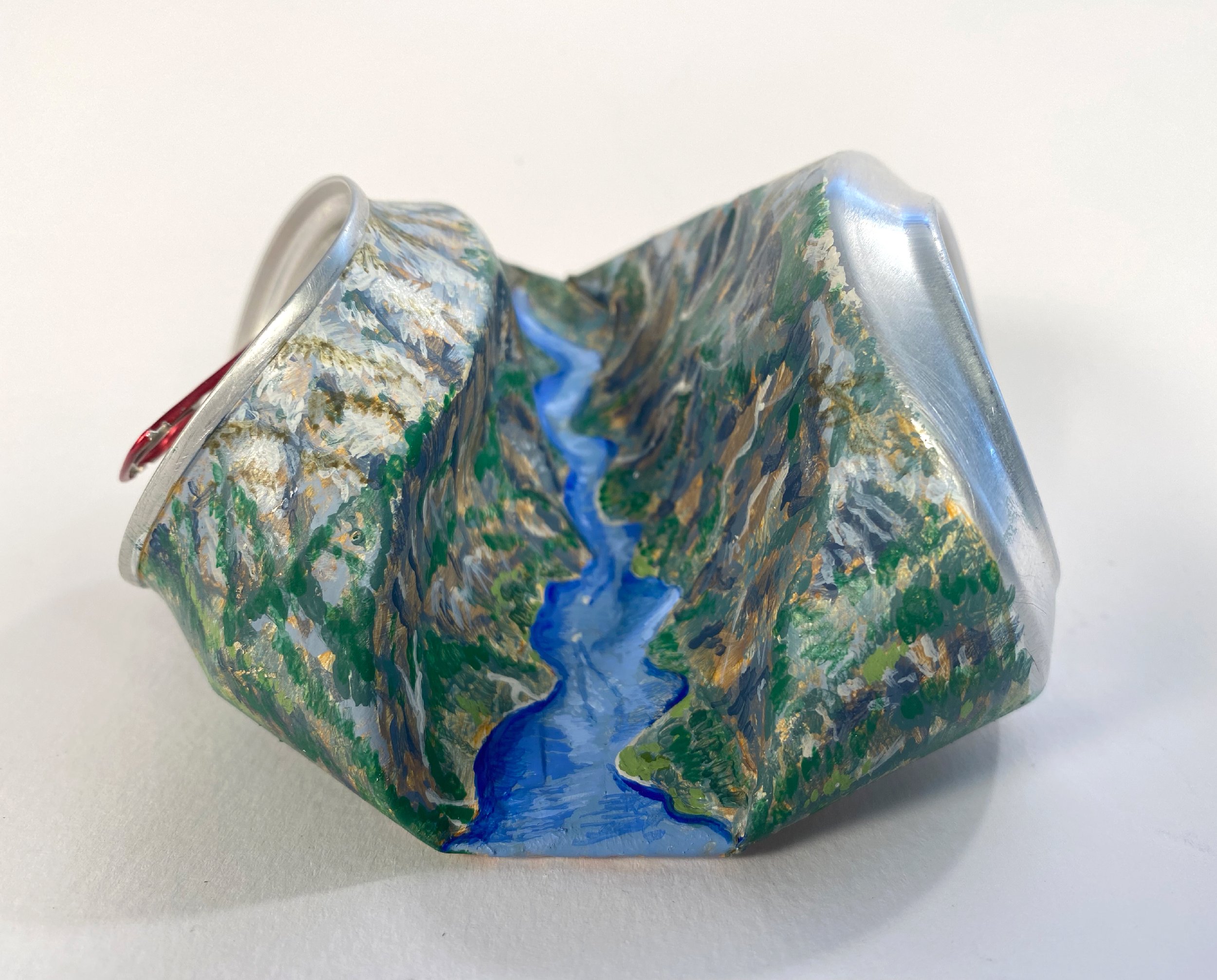
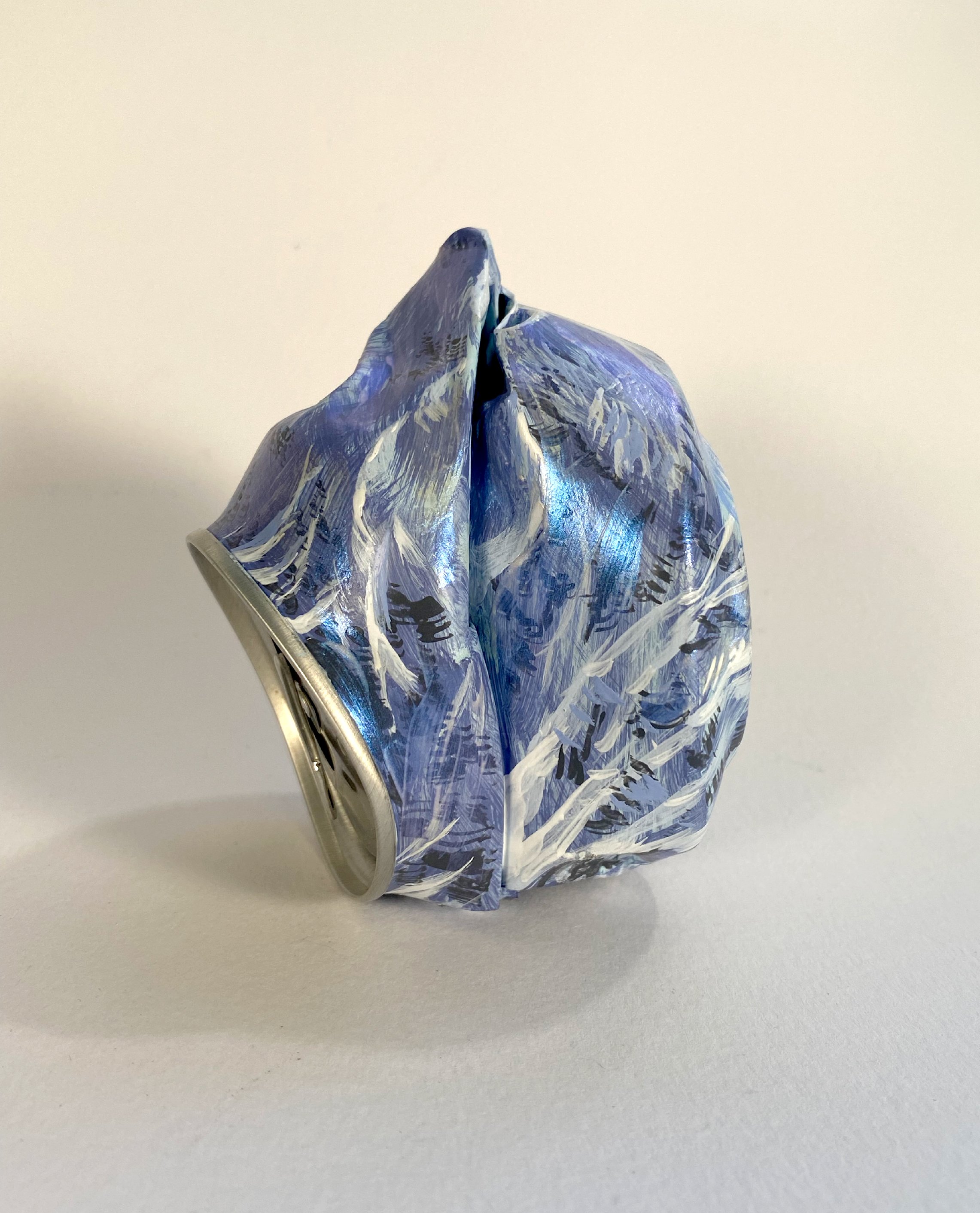
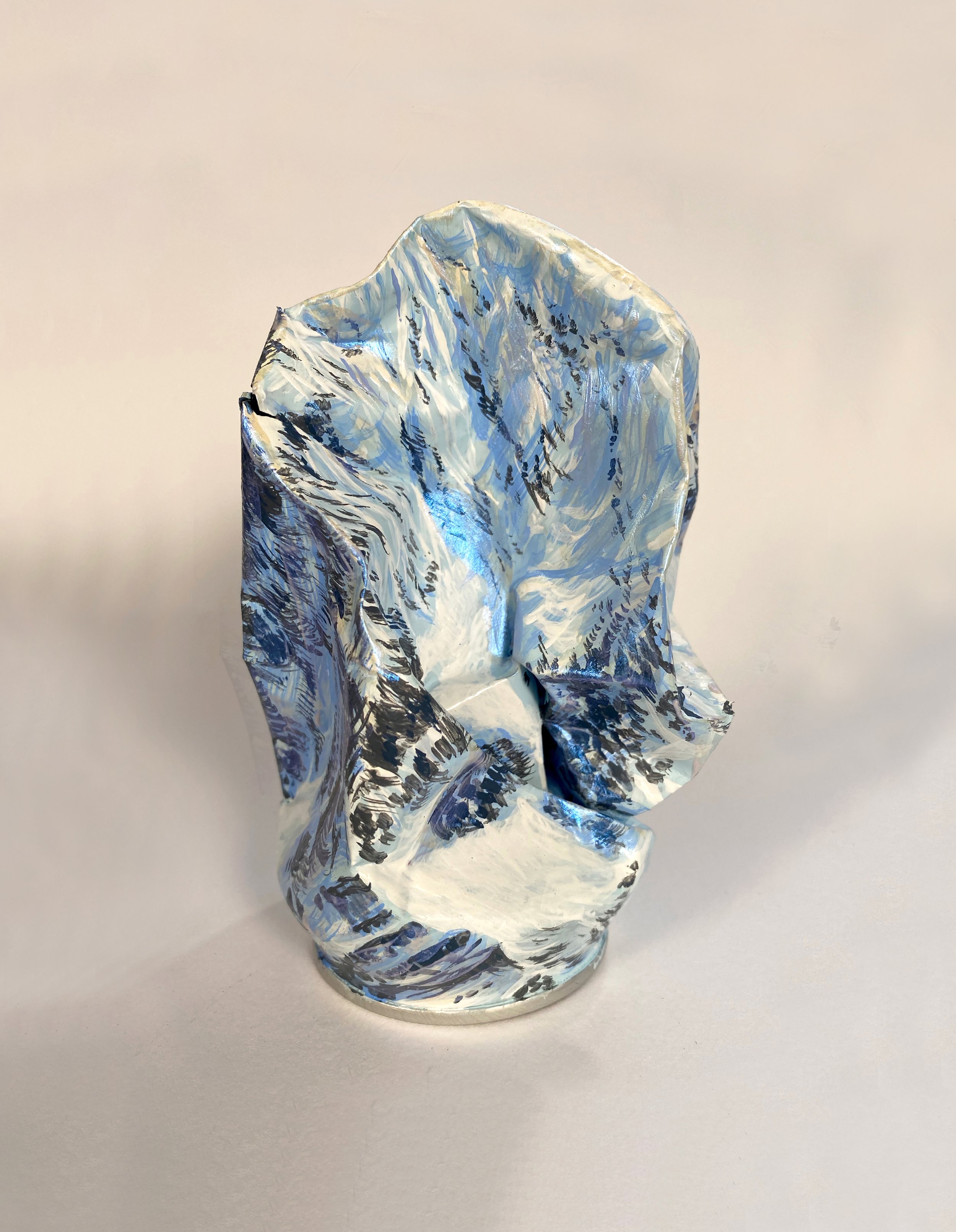
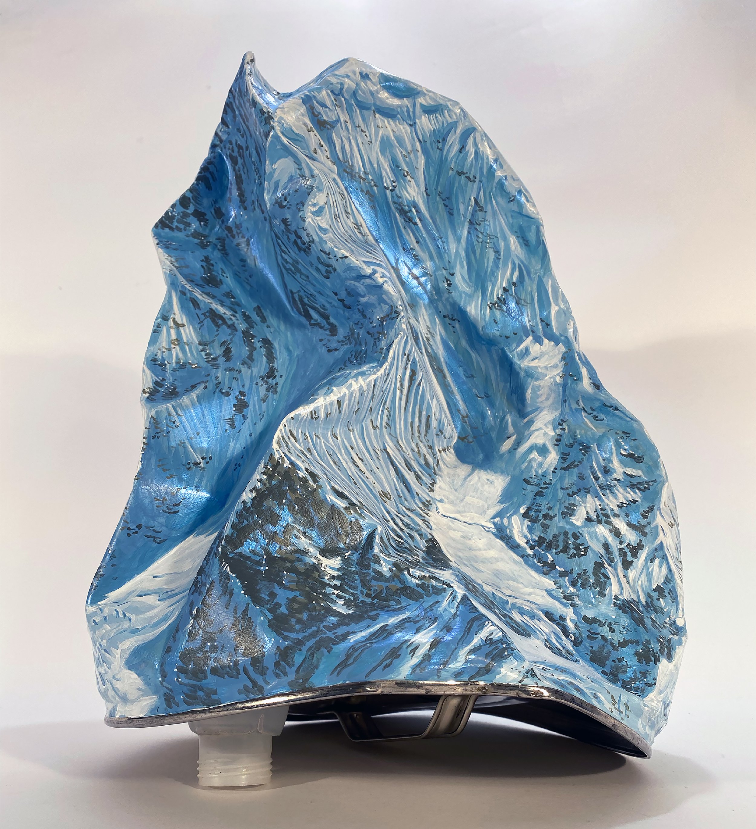
Acrylic on recycled tin can.
6cm by 11cm by 10cm
Alex selects from the waste, a can that has features resembling part of a mountain or Valley. He then goes on to shape them more with hammers and finally builds up layers of paint to resemble the unique forms of the landscape such as rivers or waterfalls. The work comments on the fragile nature of the most sublime region of our planet, therefore the work responds to the need for conservation and pollution reduction. By taking the very waste that would other wise be burnt or buried on these mountains and transforming it into something of worth it helps to preserve these very places for future generations.
Aurlandsfjord (Norwegian: Aurlandsfjorden, Urban East Norwegian: [ˈæ̂ʉrlɑnsˌfjuːɳ]) is a fjord in Vestland county, Norway. The fjord flows through the municipalities of Aurland, Vik, and Lærdal. The 29-kilometre (18 mi) long fjord is a branch off of the main Sognefjorden, Norway's longest fjord. The fjord is deep and narrow, reaching a depth of about 962 metres (3,156 ft) below sea level, and its width is generally less than 2 kilometres (1.2 mi) wide. About 11 kilometers (6.8 mi) south of the mouth of the fjord, the Nærøyfjord branches off from it to the west. The village of Flåm sits at the innermost part of the Aurlandsfjord; other villages along the fjord are Aurlandsvangen and Undredal. Most of the fjord is surrounded by up to 1,800-metre (5,900 ft) tall, steep mountains with little habitation along the fjord except for in a few small valleys. Large parts of the fjord are included in the Nærøyfjord section of the West Norwegian Fjords UNESCO world heritage site.
Please note shipping costs are included in the final sale price.


